Imagine morning walks with river views, summer concerts by the water, and a quick hop to trails and parks right in your backyard. If you are drawn to nature, history, and convenience, life along the Merrimack in Pawtucketville might be a perfect fit. In this guide, you will find what daily life feels like, where to play, and what to know about flood and water quality basics before you buy. Let’s dive in.
Riverfront living at a glance
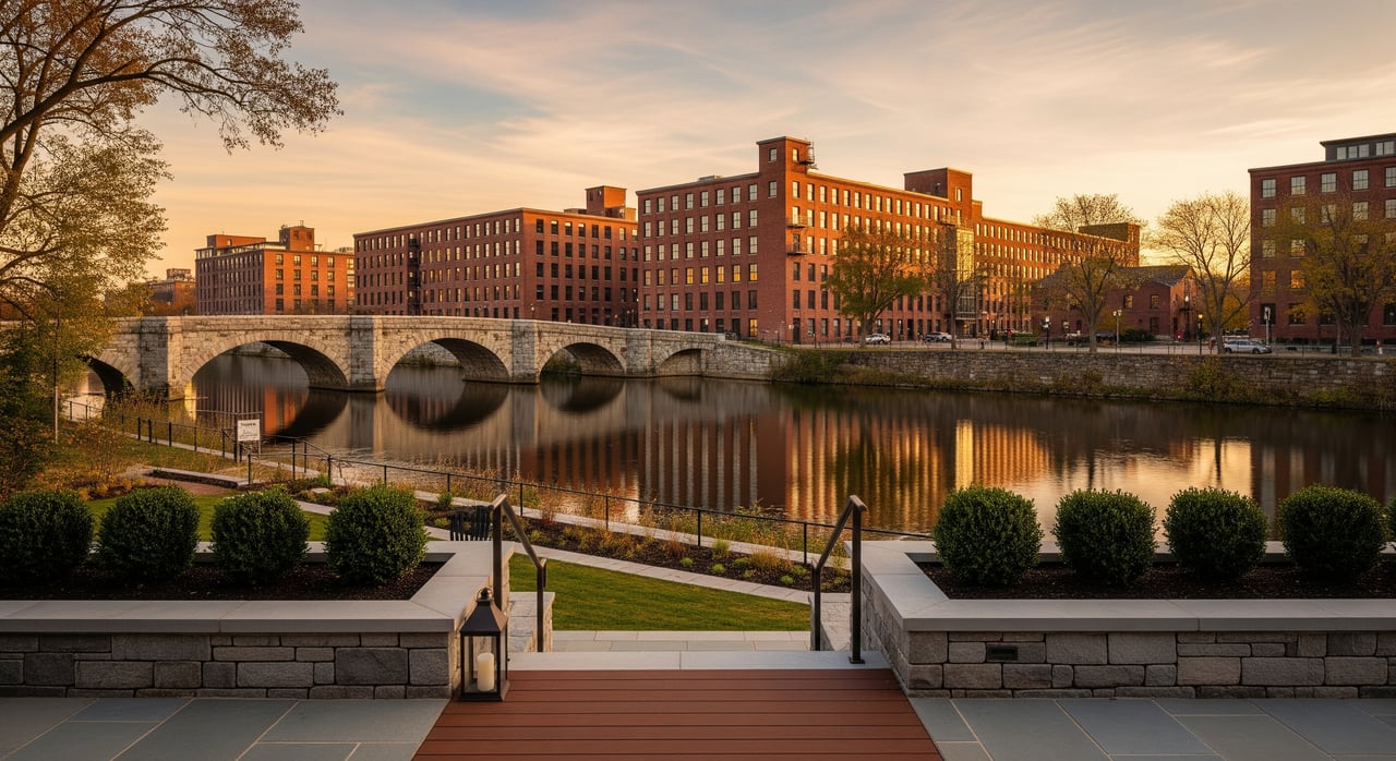
Pawtucketville sits on the north side of the Merrimack River within the City of Lowell. The neighborhood grew around Pawtucket Falls and the historic bridge that opened the area to early industry and settlement. Today you get a practical mix of green space, river views, and city access.
Landmarks on the Merrimack
Lowell Heritage State Park anchors much of the riverfront experience, including open lawns, paths, and water access along Pawtucket Boulevard. Sampas Pavilion is a well‑known outdoor venue that hosts community performances and gatherings through the warm months. You can explore the park and event details on the state’s page for Lowell Heritage State Park.
Trails and everyday recreation
You will find multiple public paths along the Merrimack and Lowell’s historic canals. The Northern Canal Walkway offers striking river and mill views and may close seasonally during high flows for safety. These connected walks make it easy to fit in a quick jog, take a scenic stroll, or show visiting friends the city’s industrial heritage.
Events by the water
From summer concerts to festivals and fireworks, the riverfront stays active. Local groups help light bridges, extend walkways, and bring pop‑up events to life, making the river feel like a shared front yard. Check project updates and ways to get involved through the Lowell Waterways Vitality Initiative.
Boating, paddling and fishing basics
Kayaking and canoeing are popular when conditions allow, and you will see anglers along the banks. Water quality on urban stretches can change after heavy rain. For current conditions and guidance, review the Merrimack River Watershed Council’s water quality monitoring program and the regional Merrimack River Early Alert Tool to decide when and where to recreate.
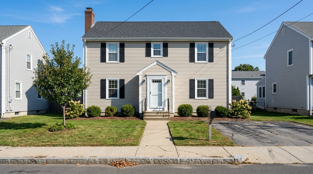
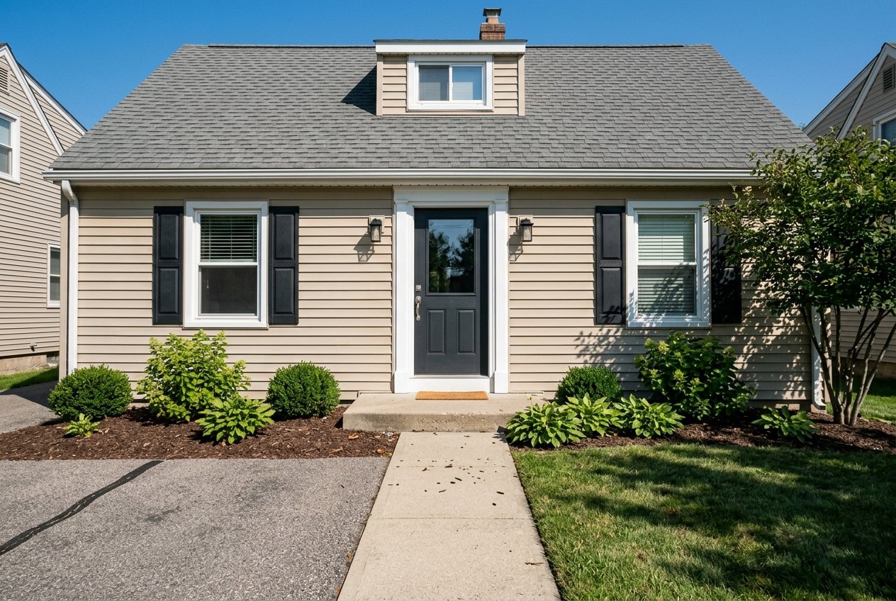
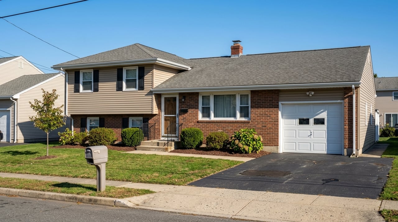
Housing and neighborhood feel
Pawtucketville offers a mix of housing types, from older homes closer to the river to post‑war single‑family streets and multifamily options. In recent years, market data providers have shown upward pressure on prices and relatively quick turnover compared with some nearby areas. The result is a neighborhood that appeals to buyers who want practical access to parks, trails, and the river without giving up city conveniences.
Getting around
Local bus service on LRTA Route 7 connects Pawtucketville with UMass Lowell, Lowell General Hospital, and downtown. You can link to the MBTA commuter rail in downtown Lowell for trips toward Boston. For schedules and stops in the neighborhood, see LRTA Route 7.
Schools and education
Pawtucketville Memorial Elementary (PreK–4) serves part of the neighborhood within Lowell Public Schools. For current enrollment and programs, visit the Pawtucketville Memorial Elementary page. Always verify school assignments directly with the district.
Flood and water quality basics
Living near a river brings amazing benefits and a few responsibilities. Flood risk varies by property, and official maps update over time. To confirm a property’s status, use FEMA’s Flood Map Service Center and the City of Lowell’s Flood Management resources. Massachusetts’ ResilientMass plan also notes that heavy rain and inland flooding are expected to increase, so resilience features and insurance are worth understanding.
Smart due‑diligence checklist
- Look up the address on FEMA’s Flood Map Service Center and note any Special Flood Hazard Area designation. Ask for elevation certificates and prior flood history when applicable.
- Check the City’s Flood Management page for local flood panels and any Letters of Map Change that affect the property.
- Review river conditions before contact recreation. Use MRWC’s monitoring updates and the Early Alert Tool after storms.
- If the property has river access, confirm riparian rights, easements, and maintenance responsibilities. Check against Lowell Heritage State Park maps where relevant.
- Verify school assignment through Lowell Public Schools. Confirm bus access and timing via LRTA Route 7.
Ready to explore homes near the river or plan a listing that highlights the best of Pawtucketville? Reach out to Alex Rocher for calm, clear guidance tailored to your goals.
FAQs
What is the daily lifestyle like along the Merrimack in Pawtucketville?
- You get quick access to trails, parks, and seasonal events at places like Lowell Heritage State Park, plus an easy connection to downtown services and transit.
Where can I walk or run by the water in Pawtucketville?
- The Northern Canal Walkway offers scenic views, and additional riverwalk segments connect to Lowell’s canals and bridges; seasonal closures can occur during high flows.
How do I check Merrimack River water quality before kayaking or fishing?
- Review current conditions from the MRWC water quality monitoring program and the Merrimack River Early Alert Tool, especially after heavy rain.
How do I verify a Pawtucketville property’s flood risk?
- Enter the address in FEMA’s Flood Map Service Center and cross‑check with the City of Lowell’s Flood Management page for local map panels and recent changes.
What public transit serves Pawtucketville residents?
- LRTA Route 7 links the neighborhood to UMass Lowell, Lowell General Hospital, and downtown, where you can connect to MBTA commuter rail.